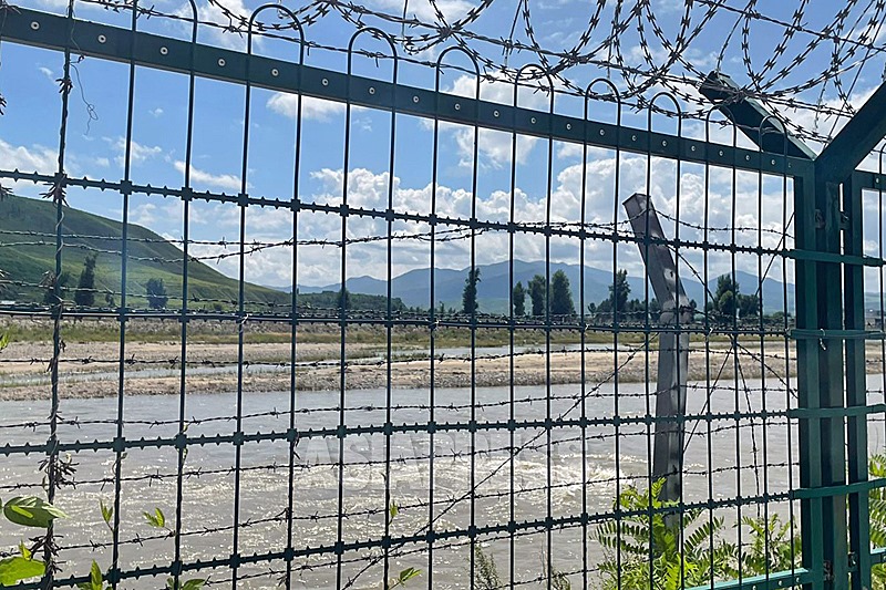
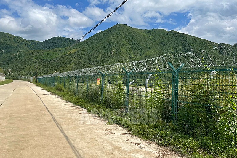
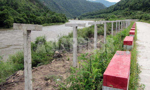
The Tumen River, which flows along the North Korea-China border, is a major waterway that is 580 kilometers long. From the Qing Dynasty era, Korean people went back and forth across the river, and from the late 1990s, it became the biggest route for people to defect from North Korea. Presently, both sides of the river have become thoroughly surrounded by barbed wire fencing. It is now impossible to cross over it.
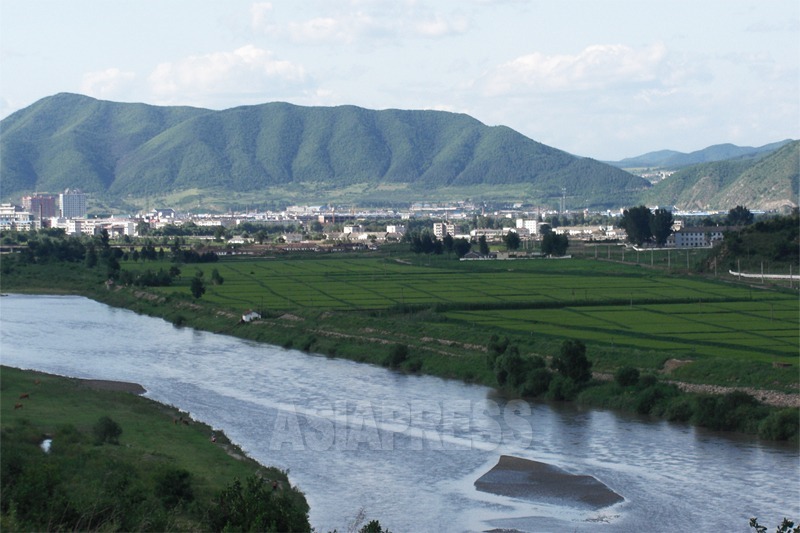
In mid-August, an ASIAPRESS reporting partner – who is also a Chinese national – visited the midstream of the Tumen River near Samhapjin, in the city of Longjing, Yanbian Korean Autonomous Prefecture, Jilin Province. The area sits across from Hoeryong, a city in North Hamgyung Province.
The Chinese authorities began restricting foreigners’ access to the Tumen River from around 2014. The area upstream from the city of Tumen, which had become a tourist destination, no longer welcomed visitors due to border patrol units and checkpoints run by the People’s Liberation Army. This writer tried to visit the Samhap area in the summer of 2017 through an indirect route but was blocked from going any further at a checkpoint near the Tumen River.
The Japanese and South Korean media frequently publish videos and photos in the Yalu River border area, but the paucity of photos of areas above the midstream of the Tumen River is due to Chinese efforts to prevent entry into the area.
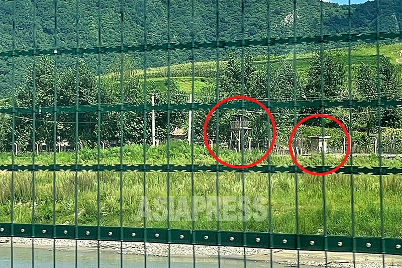
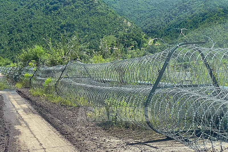
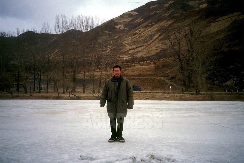
ASIAPRESS last took photos of the Samhap-Hoeryong area in 2012. The photos taken by the Chinese reporting partner recently show rows of barbed wire fences, reminiscent of a disputed area. It’s obvious that the fencing is aimed at preventing North Koreans from crossing the river or defecting. There are barely any signs of people on either side of the border.
(Photos: PARK Song-min / Text : ISHIMARU Jiro)
※ Photos that have no mention in the captions of when they were taken were all taken by PARK Song-min in August 2023.
<Photo Report> The North Korea-China Border (1) In August, Tumen and the midstream of the Tumen River was quiet
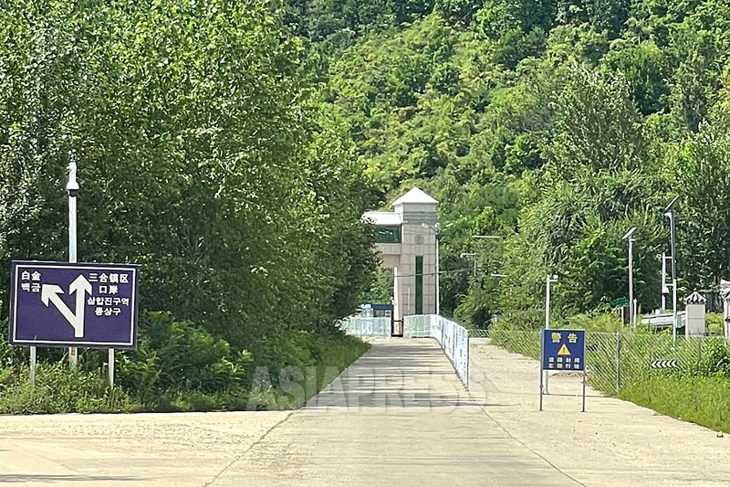
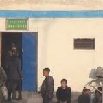
<Photo Report> The North Korea-China Border (3) The bridge connecting Hoeryong-Samhap with no vehicular or human traffic in sight
- <Photo Report>The North Korea-China Border (1) In August, Tumen and the midstream of the Tumen River was quiet
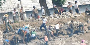
- <Inside N. Korea> Report suggests deaths in second largest city of Hamhung…One visitor to the city reports: “People are dying of starvation and disease. Crime is increasing, leading to a brutal atmosphere in the city.”
- <Inside N. Korea> New proclamation calls for intensified control over the economy…Intense crackdowns on circulation of goods and use of foreign currency (2) Proclamation declares that serious violators face execution or life in prison
- <Inside N. Korea>New proclamation calls for intensified control over the economy…Intense crackdowns on circulation of goods and use of foreign currency (1) The authorities confiscate Chinese yuan and US dollars
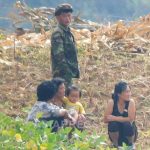
- <Inside N. Korea> “People are stealing unripe corn from the fields” Farms already see a rash of thefts of grains…Security guards given live rounds and even soldiers are deployed


")


")

 Newly Emerging Under Economic Reform, Donju Who Enter Enterprises and Strike It Rich - Who Are They?")